The revolution in music in Western Europe had a huge impact in the US. Until the early 1960s, folk, surf music and the Nashville sound were dominant musical styles there. Almost overnight, these genres faded into the background in favour of music imported from Western Europe; only the ‘Motown sound, managed to hold its own. Talk was therefore of the ‘British Invasion’. The ‘Beatles’ performance on the Ed Sullivan Show (1964) was the starting point. You can see this performance HERE.
A much better picture of the Beatles’ reception in the US is provided by the following recording of their performance at the Washington Coliseum a few days after the Ed Sullivan show. The group sang five of his well-known songs. Remarkably, they more or less had to build the stage themselves.
Many members of (future) folk-rock acts, such as ‘Byrds’, ‘Jefferson Airplane’, ‘Lovin’ Spoonful’, ‘Mamas & Papas’ and ‘Buffalo Springfield’, also turned away from traditional folk music in 1964 and 1965. The careers of Chubby Checker, Ricky Nelson, Fats Domino, Everly Brothers and ‘Elvis Presley’ suffered (temporary) damage. The British invasion also influenced the style of garage bands. Their numbers also increased to an estimated 180,000 bands, of which at most a few thousand did record at one time or another.
A US reaction to the British invasion was not absent. American artists blended the sounds of existing embattled genres with European ‘rock’ influences.
From ‘folk’ to ‘folk rock’
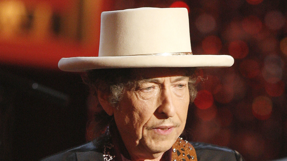
In the early 1960s, ‘rock’ and ‘folk’ were separate genres, with their own audiences and festivals. ‘Folk’ as a genre – poetic songs accompanied by acoustic instruments – totally snowballed in the 1960s as a result of the ‘British Invasion’, which temporarily established the hegemony of Beatles and Rolling Stones and related groups and artists in the US. But several former ‘folk’ singers struck back. They mixed the existing ‘folk’ repertoire with rock, including the use of electric guitars and drums. One inspiration was the group ‘the Animals’ who turned the acoustic lament ‘House of the rising sun’ into an archetypal folk-rock song. Precursors in the US of ‘folk rock’ were the Byrds and Bob Dylan. The latter indicated that the rock version of ‘House of the rising sun’ had motivated him to perform with electric instruments.
The first folk-rock song of American origin was ‘Mr Tambourine Man’, a composition by Bob Dylan, sung here by the Byrds in 1965. In turn, the Byrds influenced countless other artists such as ‘the Mamas & the Papas’, Simon & Garfunkel and Sonny & Cher.
Compare the folkrock version HERE with the acoustic version sung by Melanie in 1968.
Bob Dylan’s metamorphosis can be heard on his album ‘Bringing it all back home’. On 7 of the 11 tracks, he is accompanied by a band with electronic instruments. On his later albums, such as ‘Like a rolling stone’, he continued this trend, much to the dismay of some of his original fans, who made no secret of it during performances. I now play two songs from the album ‘Bringing it all back home’.
Acoustic is ‘It’s all over now, baby blue’, live at the Newport folk festival:
Next you can watch and listen to Maggie’s farm, a solid rock version. Dylan sang this version at the same edition of the Newport folk festival. Bob Dylan achieved great fame as a folk singer, think of songs like ‘Blowin’ on the wind’ and ‘The times they are changing’. Less well known is that Dylan was a lover of rock & roll from a young age. In 1965, he decided to manifest it as such. According to exegetes, when he sings ‘I don’t want to work on Maggie’s farm anymore’, Maggie’s farm symbolizes the folk music scene. Listen to ‘Maggie’s farm’ here, including the booing at the end.
To this day, a significant group of fans of original ‘folk’ and ‘country’ music has continued to exist, outside the US too. This genre is called Americana or ‘roots music’. Examples include The Band, Creedence Clearwater Revival, Crosby, Stills, Nash & Young as well as Ry Cooder and Bonnie Raitt. Another example is the Dutch group ‘CCC Incorporated’. You can hear a recording of the latter here.
From ‘country’ to ‘country rock’
‘Country music’ also suffered badly during the ‘British invasion’. But many songs by artists like Hank Williams and Merle Haggard remained popular, and their popularity increased again when a dose of ‘rock’ was added. After Gram Parsons joined the Byrds, the group turned to country rock and songs like ‘Sweetheart of the rodeo’ and ‘You ain’t going nowhere’ were considered prime examples of this genre.
Here you can watch and listen but the latter song (1968):
In the 1970s, Emmylou Harris and Linda Ronstadt became performers at respite from this genre. So did John Denver and Neil Young. Members of Ronstadt’s backing band later continued under the name ‘Eagles‘ continued the tradition.
From ‘blues’ to ‘blues rock’
In the development of blues rock, there was no one-way traffic between the US and Britain. As early as 1958, the American blues guitarist Muddy Waters toured Europe (see my exploration of the development of the blues in the US) and, especially in Britain, this led to a true blues boom. This inspired among others the members of the (future) Rolling Stones, Cream, Animals, Yardbirds, Kinks, Who and others. All these bands added a ‘rock twist’ to it. Their music became so popular in the US in the second half of the 1960s that one could speak of a second British invasion. The blues rock was fiercer and louder that the beat music that was starting to sound dated. In the US, Paul Butterfield Blues Band, Canned Heat and the Doors were the first exponents of this new genre. The members of these the bands often played long solos during performances, following the blues.
Here, Canned Heat plays ‘On the road again’
Blues rock was getting louder and louder, moving towards heavy metal. I will come back to this in a subsequent post. However, there were also bands that stayed closer to the traditional blues genre. In the 1980s, these included, for example, ‘the Fabulous thunderbirds’ and ‘Stevie Ray Vaughan’.
In the above, we see the dichotomy emerging between ‘soft rock’ and ‘hard rock’. Folk rock and country rock were the basis for soft rock. The emphasis was on harmonic melodies. Key artists were, Carole King, Cat Stevens, James Taylor. Commercial highlights were provided by Fleetwood Mac and Billy Joel.
Hard rock was fiercer, mainly featured repetitive ‘runs’ and distortion of the sound and joined blues rock. This genre had numerous variations from the 1960s onwards, ranging from acid rock, metal, pink and grunge. International successes were mainly achieved by Queen, Thin Lizzy, Aerosmith, AC/DC and Van Halen.